Ancient Greece You Can Touch: Discovering History Through Hands-On Learning


How does a landscape shape the lives of the people who live in it, and why did so many independent city-states emerge in ancient Greece? These were the guiding questions in Monday’s double history lesson for Classes 5/6.
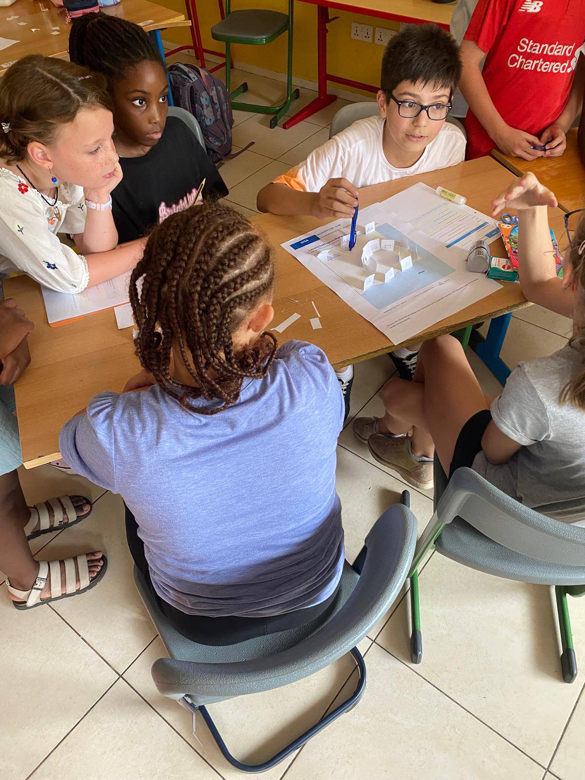
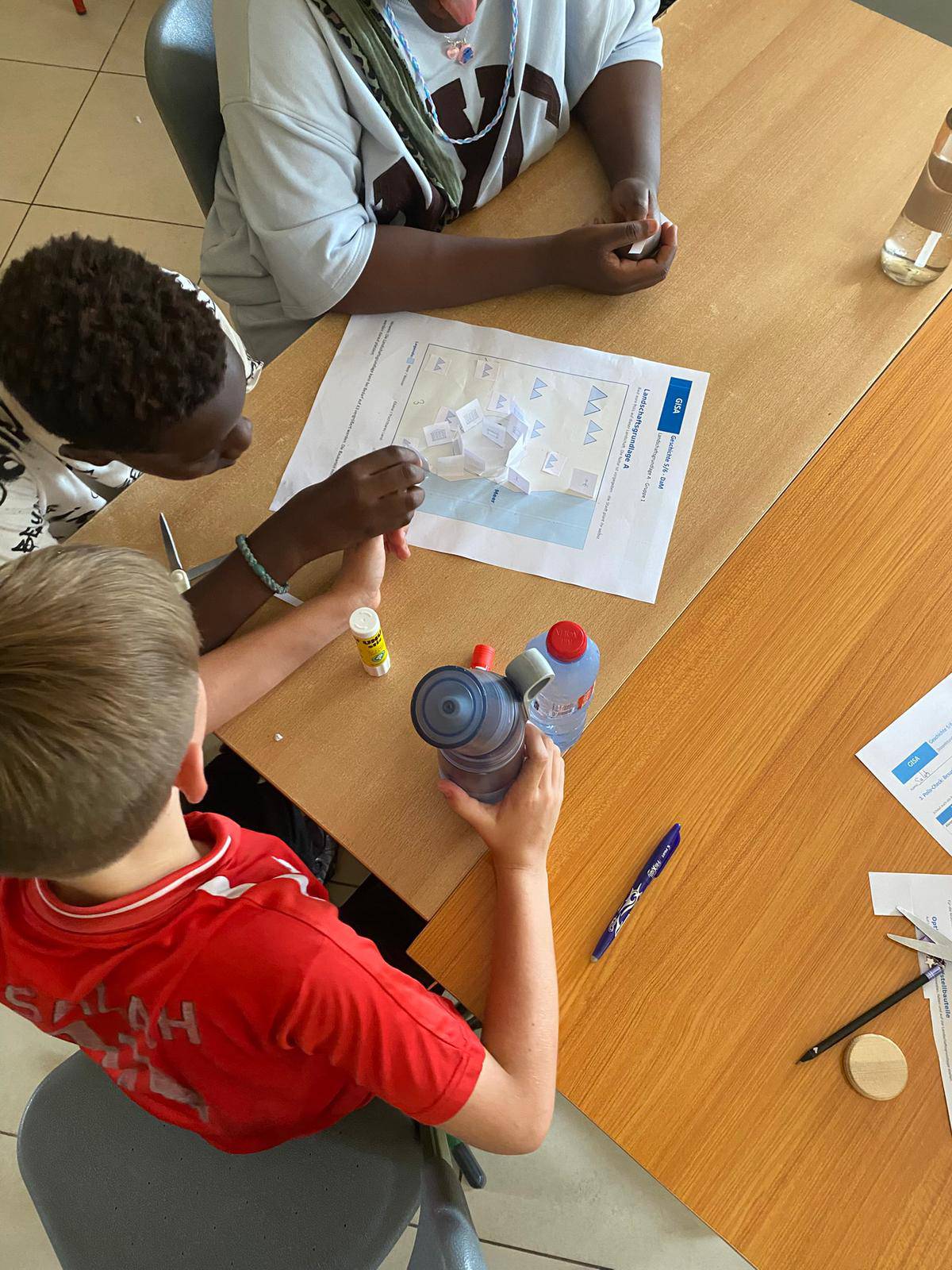
Rather than only looking at maps, the students became active themselves. Working in small groups, they created landscape models showing mountains, coastlines, islands, and settlement areas. In this way, they were able to see quite clearly that Greece was strongly shaped by both mountains and the sea. Travel by land was often difficult, while the sea provided important routes for connection and exchange.
Based on their own observations, the students then developed historical explanations. They recognized why many independent city-states, known as poleis, emerged and why the sea played such an important role in trade, communication, and the development of the Greek world.
This kind of action-oriented learning offers particular value in history lessons. Historical relationships are not only read about or explained, but explored through creating, testing, discussing, and reflecting together. The models helped make abstract geographical conditions visible and, in the truest sense of the word, tangible.
In this way, ancient Greece became much more vivid for Classes 5/6. Step by step, mountains, islands, and paper models helped the students understand how geography can shape history.
Excellence Scholarship Programme 2027

⚽Gerald Asamoah Football Academy

Faces of Football

🇩🇪 German Language Day

☕ DaF Café: Speaking German and Connecting Through Conversation

GISA Teen Club